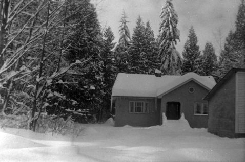
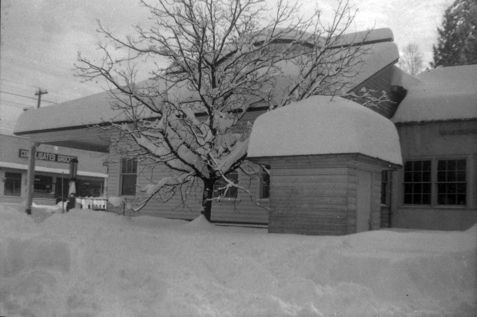
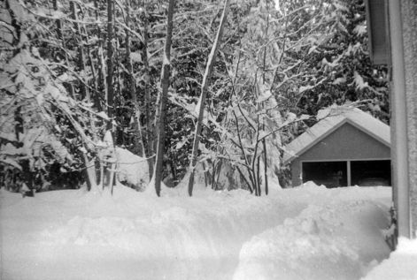
Snowy Days at the Hoffmann Site
The first image is of the Hoffmann House with shop extension in the front, the second image is of the north side of Hoffmann shop with Consolidated Grocery in the background and the final image is of a path through the snow to the garage (all of these images are c.1950s).
Details:
Latitude: 49.2257143693928
Longitude: -122.68967676741
Direct Link: https://www.pittmeadowsmuseum.com/locations/snowy-days-at-the-hoffmann-site