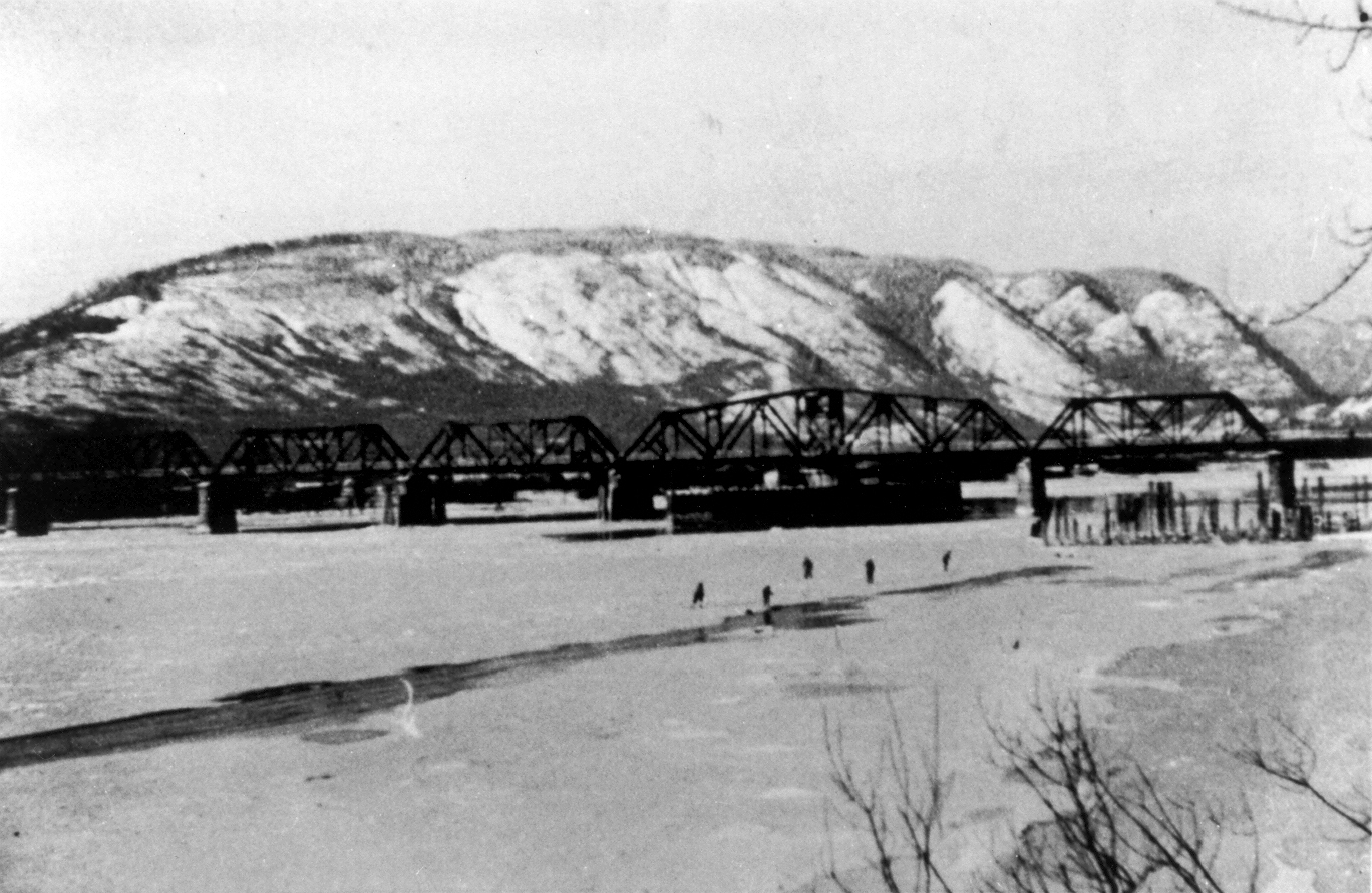
Skating on the frozen Pitt River
In January 1943, the river froze, and the ice was solid enough for safe ice skating. In the accompanying photo five people skate on the frozen Pitt River. The photo was taken by Harry Key, who was a guard on the C.P.R. Bridge during World War II.
Details:
Latitude: 49.2484472342562
Longitude: -122.72881785968
Direct Link: https://www.pittmeadowsmuseum.com/locations/skating-on-the-frozen-pitt-river