No. 1 school building
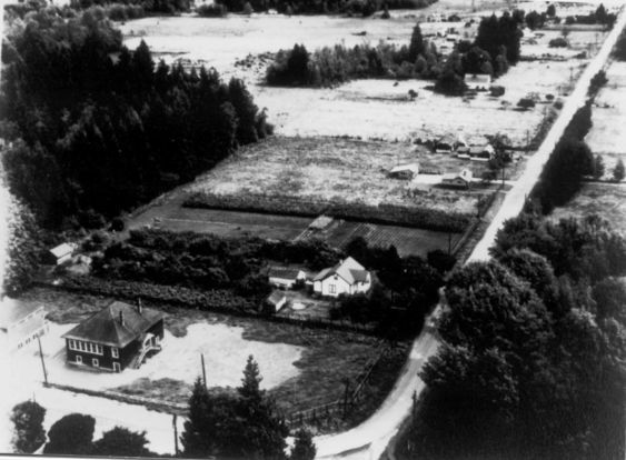
This aerial photo shows the intersection of Harris Road and Hammond Road. The No. 1 School and the Industrial Arts building is near. Linda Rowe's family home is also visible. It is believed that this photo was taken in the 1940's.
Details:
Latitude: 49.2167917171791
Longitude: -122.68911471409
Direct Link: https://www.pittmeadowsmuseum.com/locations/no-1-school-building