Horse Drawn Buggies
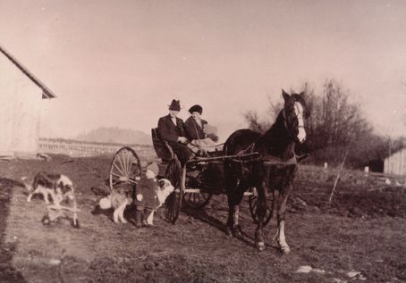
This is a photograph of Mr. and Mrs. John Robertson and their son Tommy taken at Greybrook Farm (on Dewdney Trunk Road) where they lived for a few years in the early 1920s.
Details:
Latitude: 49.2441095247506
Longitude: -122.69485833388
Direct Link: https://www.pittmeadowsmuseum.com/locations/horse-drawn-buggies