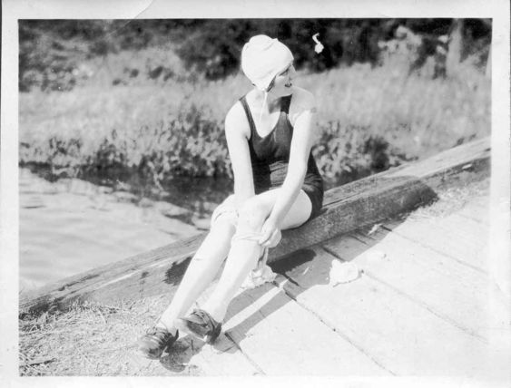
Harris Road Crossing
This image is of a young woman getting ready to get wet as she takes off her stockings, and shoes while also posing in a swimsuit. It is believed that this young lady is Katie Thornburn (nee: sharpe) or Janie McMyn. It is possible that the photo was taken at the Harris Road crossing, of the then Lillooet River (Alouette River).
Details:
Latitude: 49.2649446301944
Longitude: -122.68926143646
Direct Link: https://www.pittmeadowsmuseum.com/locations/harris-road-crossing