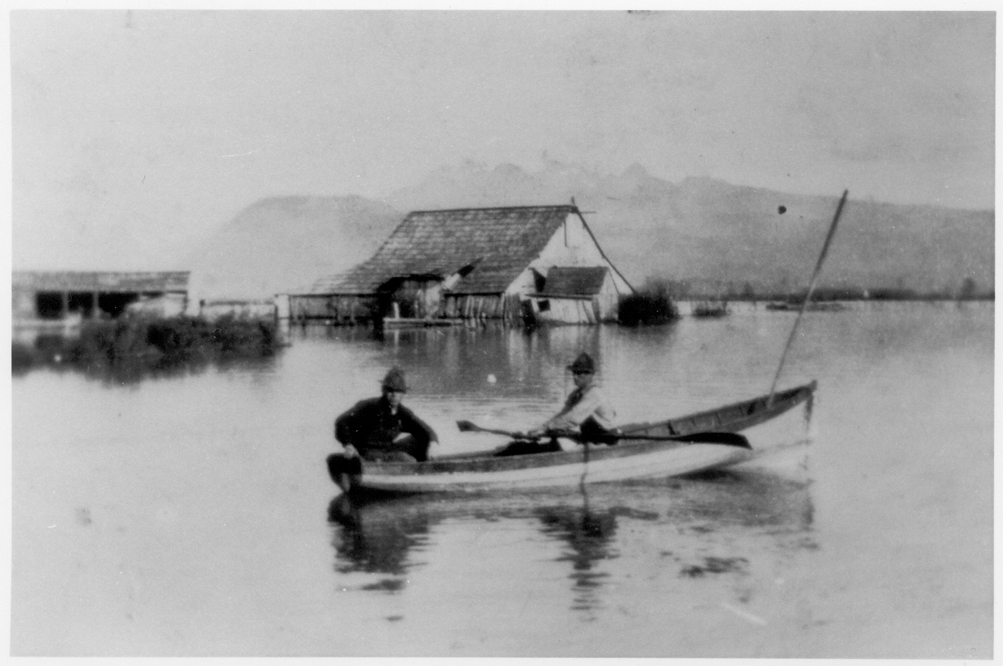
Flooded field in the Katzie Slough
This photograph features David Blaney and Jack Sharpe in a rowboat in a flooded field in the Katzie Slough (Sharpe land) c.1920s/early 1930s. Unfortunately based on the geographical location of Pitt Meadows there will always be the possibility of flooding. Luckily with advances in the ways we prepare for flooding like reviewing freshet, maintaining pump station, inspecting dikes, clearing culverts and monitoring river level gauges, the City can stay on top of flooding when it occurs. From the City Flood Preparation website: “Approximately 85 per cent of Pitt Meadows is located within the Fraser River and Pitt River floodplains, and flooding can happen any time. Pitt Meadows is susceptible to flooding due to heavy rain, rain on snow, spring freshet (river flooding from heavy rain or snow melt),and mechanical failure of pump stations.”
Details:
Latitude: 49.2390558340204
Longitude: -122.69765899413
Direct Link: https://www.pittmeadowsmuseum.com/locations/flooded-field-in-the-katzie-slough