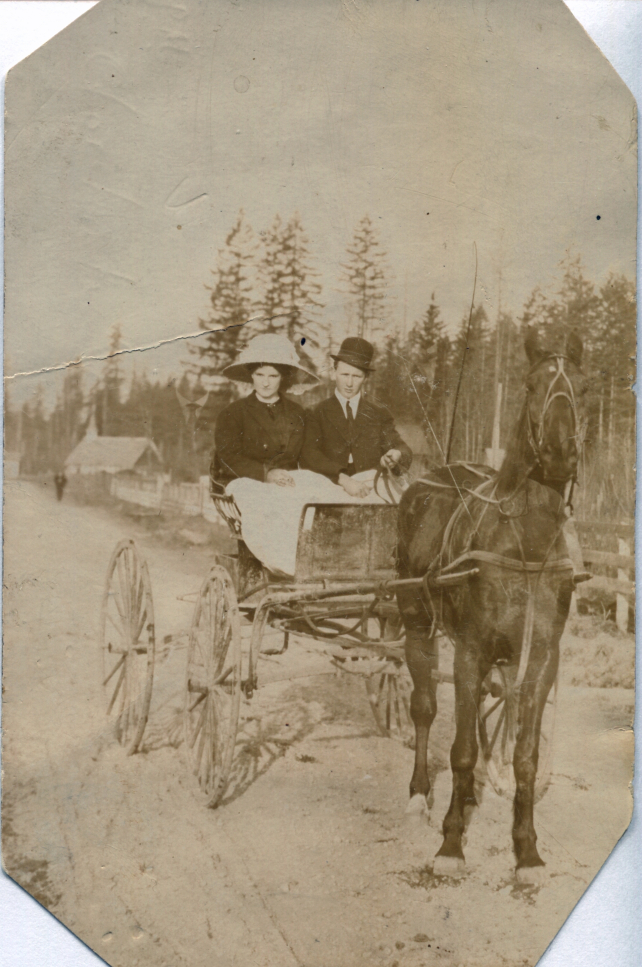
Douglas and Violet McMyn
This photograph features them riding their buggy on Ford Road, there is the Community Church in the background, c. 1911-1914. They were the first to drive over the old bridge when it opened, Douglas drove over with a team of horses and Violet. Douglas would go on to be the first person across the Lougheed Highway bridge in 1957 and the 1978 Pitt River Bridge.
Details:
Latitude: 49.2224191825617
Longitude: -122.68963974704
Direct Link: https://www.pittmeadowsmuseum.com/locations/douglas-and-violet-mcmyn