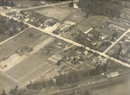
Pitt Meadows Harris Road corridor from the C.P.R. tracks up to Lougheed Highway
This is an oblique aerial photograph of the Pitt Meadows Harris Road corridor from the C.P.R. tracks up to Lougheed Highway c.1948.
Details:
Latitude: 49.2263665880585
Longitude: -122.68948104443